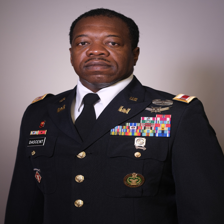
CW4 Mitchel Dascent, a 125D-geospatial engineer technician, is an instructor in the Department of Geography & Earth Sciences at the United States Military Academy.
He was previously assigned as the plans and analysis officer in charge for the 5th Geospatial Engineer Detachment in support of United States Army Pacific, responsible for direct geospatial support to U.S. Indo-Pacific Command and subordinate echelons.
Dascent was assigned to the National Geospatial Intelligence Agency as part of the NGA Support Team - Army (NST), responsible for ensuring Army initiatives and equities were validated at higher echelons. He was assigned to the 101st Division, Fort Campbell, Kentucky, serving as the Geospatial Intelligence (GEOINT) Cell officer in charge and also deployed to Iraq.
He deployed to Afghanistan with the 173rd Infantry Brigade Combat Team, serving as the GEOINT Cell officer in charge as his two most recent deployments.
Dascent's interest centers on expanding knowledge in geospatial information systems, developing additional skills in data collection and dissemination, introducing cadets to the warrant officer cohort, and imparting knowledge on how to best utilize and work with warrant officers in their units.
M.S., Applied Science - Delta State University
B.S., Business Administration - Franklin University